National
Govt launches bid to measure Everest height
The Department of Survey has begun it own measurement of Mt Everest to ascertain the actual height of the world’s tallest peak.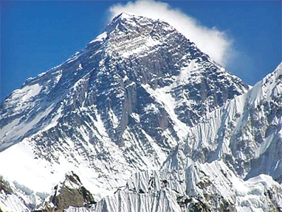
The Department of Survey has begun it own measurement of Mt Everest to ascertain the actual height of the world’s tallest peak.
According to the first scientific measurement conducted in 1856, the height of Everest is 8,848 metres. The new study will not only reveal the actual height of Everest but also show the impact of climate change on the mountain.
There are speculations that the height of Everest could have changed due to the Great Earthquake of 2015, with a possible shift in its position. There has been no scientific research to check these assumptions.
China has set rock and snow heights of the Everest. Several international institutions and India had expressed their interest to measure the height but the government decided to undertake the task on its own.
Nepali technicians began work from Udayapur district last week, with the task expected to complete in two years with the help of international experts and scientists.
“We will involve international experts, scientists and others who are experienced in high altitude measurements. We will take technical support from International Association of Geodesy, a trusted and credible organisation in measurement,” Ganesh Prasad Bhatta, director general of the Survey Department, told the Post.
To make the findings credible and globally accepted, tools like GPS, gravity survey measurement, vertical height measurement and mathematical survey will be employed.
The government has released Rs20 million and will provide more funds as required. The total cost could exceed Rs140 million.
This year, Nepal’s technicians will complete measurement from Basghari, Udayapur, to Lukla. For measurement in high altitude, the department will train dozens of Sherpas. The climbers will take equipment from the Base Camp to the top for drawing a final conclusion.
DG Bhatta said the experience will help the department with similar projects in the mountains.
Two-year project
- Technicians began the work from Udayapur district last week, with the task expected to complete in two years with the help of international experts and scientists
- To make the findings credible and widely accepted, tools like GPS, gravity survey measurement, vertical height measurement and mathematical survey will be employed
- The government has released Rs20 million and will provide more funds as required


 14.12°C Kathmandu
