Drones take on a new role in Nepal’s disaster response—from delivering food to carrying bodies
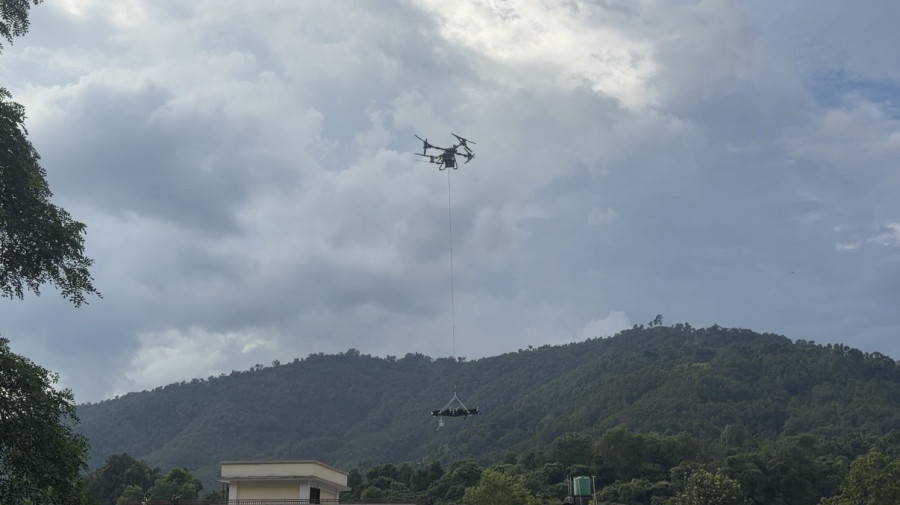
Once deployed mainly by international rescue teams after the 2015 earthquake, Nepal’s drone expertise is now helping deliver supplies, search for survivors and even airlift bodies from areas rescuers cannot safely reach. A drone lifts the body of a flood victim at Devighat, Nuwakot. Photo: Courtesy of Lucia Goni
On Monday, an unusual scene unfolded in the skies over Devighat, Nuwakot, one of the areas devastated by last week’s floods.
An unmanned aircraft flew overhead carrying a human body.
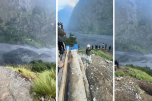
The drone had been deployed to retrieve a body from an area that rescuers found difficult and dangerous to navigate. Seven bodies were eventually airlifted by drones from Devighat-3 to Devighat-5 under the supervision of security personnel.
It was an extraordinary use of a technology that, barely a decade ago, was largely associated with international search-and-rescue teams responding to disasters in Nepal.
When a 7.8-magnitude earthquake struck Nepal in 2015, killing thousands and destroying large parts of Kathmandu Valley and other areas, international agencies brought drones to help search for survivors, assess damage and support recovery.
Since then, advances in local technology and the growing interest of Nepali youths have helped create a homegrown drone expertise.
The technology is now finding use far beyond aerial photography and mapping.
This spring, drones helped transport heavy loads between Everest Base Camp and Camp I in the Khumbu Icefall in just six to seven minutes—a journey that can take humans up to seven hours.
They carried emergency oxygen tanks, medicines, ropes and ladders to precarious locations, reducing the need for Sherpas to repeatedly undertake one of the most dangerous jobs on the mountain.
The Khumbu Icefall is notorious for shifting ice blocks, deep crevasses and avalanches. A bad day can mean being buried under tonnes of snow and ice.
Drones have also been used to scout shifting crevasses and map ice walls, allowing Sherpa guides to identify dangerous areas before entering them.
With 3D mapping capabilities, drones can remotely scan icy landscapes such as the Khumbu Icefall and measure the length and depth of crevasses. Such information allows climbers and guides to better assess hazards, including the possibility of avalanches and collapsing ice slabs.
Now, the technology is proving its value downstream—in communities hit by floods and landslides.
In Devighat-3 of Nuwakot, one of the worst-hit areas, villagers on Sunday experienced a different kind of disaster relief.
A loudspeaker announcement suddenly came from above.
An AI-enabled drone was flying over the village, following a person before reaching a group of residents. Its speaker switched on and began asking questions.
Do you have water? Raise your hand.
Do you have food? Raise your hand.
Do you have medicine? Raise your hand.
“Based on the villagers' response, we make an assessment for what they require and send the delivery through drones,” said Milan Pandey, director of Airlift Technology and a drone pilot.
The drone also asked villagers to provide a contact number or address, which could be written on a placard or even in the mud.
Drone operators receive the signals and process the needs of the stranded people.
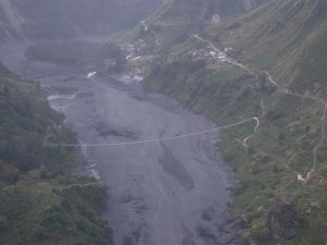
The approach is particularly useful in areas where roads and bridges have been destroyed and people on opposite sides of a river can no longer reach each other.
“We supplied at least 1.5 tonnes of emergency supplies, including food, to the affected areas in three days,” Pandey said.
On Monday, the team dropped food and other logistics on the top of a four-storey school building in Devighat. The ward chairman was informed and later collected the cargo for distribution among villagers.
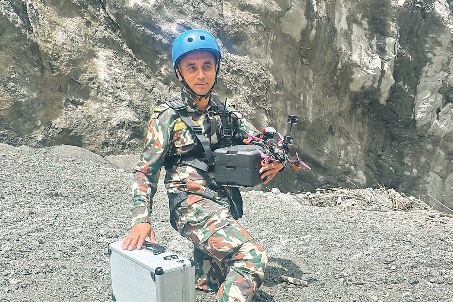
A Nepali Army rescuer with a drone and other equipment at flood-hit Trishuli in Nuwakot, Monday. Photo: Courtesy of Airlift Technology.
Drone operators say their role in disaster response remains limited by payload capacity, range and weather conditions. But where conventional transport is impossible, the impact can be disproportionate to their size.
“It’s the cheapest mode of transporting supplies compared to choppers,” operators say.
And in Devighat on Monday, drones took on perhaps their most unusual role yet: carrying the dead.
“We airlifted seven bodies from Devighat-3 to Devighat-5 under the supervision of the security forces, from a place where people can hardly navigate,” said Pandey.
The eight-member drone team, led by Hami Nepal, includes personnel from GarudX, Nepal Police, Nepal Army and the Armed Police Force. Hami Nepal was previously led by the current home minister, Sudan Gurung, during the Gen Z protests in September last year.
The team has been using the DJI FlyCart 100, a heavy-lift industrial cargo drone capable of carrying logistics weighing up to 85 kilograms and operating over a range of up to four kilometres.
Other drones have been deployed to inspect rivers and their banks in the search for missing people. Thermal drones can detect signs of living people, potentially allowing rescuers to locate survivors in areas that are inaccessible or too dangerous to enter.
The technology has also been taken underground.
Drone operators have used unmanned aircraft inside the tunnel of the Upper Trishuli-1 hydropower project, where scores of workers are believed to have been trapped following the floods.
“We reached platform 1 of the project and saw the tunnel filled with water and rocks,” said Adarsha Bhusal, one of the drone operators. “It’s risky and challenging to get inside.”
The drone found no trace of life inside the tunnel during the operation, he said.
Around 900 workers have been reported missing at various hydropower projects along the Trishuli and Bhote Koshi rivers, according to the Independent Power Producers’ Association of Nepal, the umbrella organisation of private power producers.
The expanding use of drones in Nepal’s disaster response reflects how quickly the technology has evolved from a niche tool into a potential emergency-response system.
Also known as unmanned aerial vehicles, drones can produce orthophotos and topographical maps with a level of detail that can exceed conventional satellite imagery, according to the World Bank assessment report. Because they can be deployed quickly, they can provide real-time information to emergency teams assessing rapidly changing conditions.
“Specialised sensors can also detect minute changes in topography. Such data could help authorities identify areas at risk of landslides and floods and potentially provide early warning before disasters strike,” the multilateral funding agency said.
For Nepal, this technology is becoming increasingly important.
Nepal, located in the central part of the Himalayan range, is experiencing rapid environmental and climatic changes that are increasing its exposure to floods, landslides, glacier-related hazards and other disasters.
The World Bank argues that Nepal needs to become more resilient to an unpredictable and changing climate through greater use of disruptive technologies, including drones, satellite technology and geospatial analytics.
The country’s drone ecosystem began taking root after the 2015 earthquake, when international agencies introduced and deployed the technology during recovery operations.
A decade later, much of that capability is being developed and operated locally.
Nepal’s experience could eventually become relevant beyond its borders, according to the World Bank.
The country’s private sector has already provided drone-based services to Bhutan for multi-hazard risk assessment, demonstrating how Nepal’s growing expertise could be exported to other countries facing similar climate-related risks.
From the summit of Everest to flooded villages in the valleys below, drones are increasingly filling gaps where people cannot safely go.
They are delivering food and medicine, mapping hazards, searching for survivors, inspecting flooded tunnels and, now, transporting bodies.
“For a country repeatedly exposed to earthquakes, floods, landslides and mountain hazards, the rise of locally developed drone technology could mark a significant shift in how Nepal responds to disasters—putting eyes, cargo and rescue capability into places where human access is simply too dangerous,” said Pandey.
Airlift Technology, led by Pandey, assembles drones in Kathmandu by importing their parts.
“We just need an appropriate policy to promote such a life-saving machine,” he said.
Sangam Prasain is Business Editor at The Kathmandu Post, covering tourism, agriculture, mountaineering, aviation, infrastructure and other economic affairs. He joined The Kathmandu Post in October 2009.




 23.84°C Kathmandu