The Meteorological Forecasting Division of the Department of Hydrology and Meteorology has cautioned all to suspend trekking in the Himalayan region and those already on trekking routes to return immediately to safer, lower elevations, amid the risk of heavy rain and snowfall.
The division has also advised the public to avoid long-distance road travel from September 25 to 27, warning that persistent rainfall during the period could increase the risk of floods and landslides.
According to the division, a low-pressure area developed over the northern Andaman Sea and the adjoining areas, currently located over the central Bay of Bengal, has intensified into deep depression and is moving towards the coast.
The system is expected to strengthen further and move north/westwards.
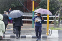
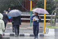
As a result, rainfall activity has been increasing in Koshi, Bagmati and Gandaki provinces since Wednesday.
“Rainfall will occur across the country from Friday to Sunday, and all provinces could experience heavy rainfall,” said Hari Prasad Dhakal, a meteorologist at the division. “There is a possibility of extremely heavy rainfall and snowfall in Gandaki and Lumbini provinces, so people need to remain alert.”
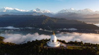
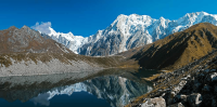
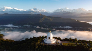
Gandaki Province is a major trekking destination, where hundreds of foreigners and Nepali tourists, guides and porters reach throughout the year. The province is home to popular trekking routes and destinations including the Annapurna Circuit, Manaslu Circuit, Annapurna Base Camp, Mardi Himal and Tilicho Lake.
The Department of Hydrology and Meteorology has also issued a special bulletin warning the public and concerned agencies about possible weather-related disasters. It has issued a red alert for the Himalayan region, calling for response and preparedness measures.
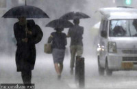
According to the bulletin, some parts of Gandaki and Lumbini provinces are likely to receive heavy to very heavy rainfall, accompanied by thunderstorms, lightning, and strong winds, from Friday to Sunday. One or two places could receive extremely heavy rainfall.
A few places in Madhesh, Koshi, Bagmati and Sudurpaschim provinces are also likely to receive heavy to very heavy rainfall accompanied by thunderstorms, lightning and strong winds. A few places in Karnali Province could receive heavy rainfall.
Nepal is currently under the influence of both monsoon and westerly winds, and the new weather system is a separate phenomenon developing over the Bay of Bengal.
According to Dhakal, the powerful low-pressure system developing over the Bay of Bengal is likely to make landfall on Wednesday night or Thursday morning, with its effects also expected to reach Nepal.
“Do not go trekking in the Himalayan region,” Dhakal said. “Also avoid long-distance travel from September 25 to 27. Follow the weather department’s bulletins, and for further information call the toll-free number 1155 and press 1 for weather updates.”
The India Meteorological Department said the weather system currently developing over the Bay of Bengal is a depression, not a cyclone.
Nepali weather experts, however, say the system could bring rainfall across the country, with extremely heavy rainfall in some areas.
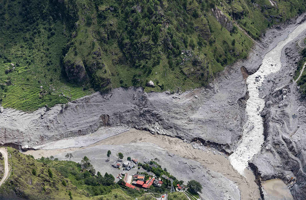
The extreme flood wave of August, travelling at roughly 188 kilometres per hour, killed over 1,400, left over 6,000 missing and swept away large swathes of land, homes, schools, roads and other critical infrastructure. Photo: Nepal Photo Library
“Rainfall will occur for at least three days and accumulated rainfall of three days will be of heavy and very heavy,” said Madan Sigdel, associate professor at the Department of Hydrology and Meteorology at Tribhuvan University. “There is no need to panic, but people need to remain alert. Some places could receive extremely heavy rainfall.”
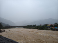
Possible continuous rainfall could increase river flows and trigger landslides in areas, as monsoon rain has already soaked and weakened the land, including in areas of major highways.
“It would be better to avoid travelling at night,” he said. “Relevant agencies also need to take necessary precautions. Preparations should begin by taking potential risks into account.”
Sigdel said people were already traumatised by deaths and devastation caused by the August 26 Bhotekoshi flood and that sharing sensational reports on social media for views and likes could create havoc and panic.
The National Disaster Risk Reduction and Management Authority, the government agency tasked with leading disaster preparedness and response, on Wednesday said that due to the possibility of heavy rainfall, there is a risk of soil erosion, floods, landslides and debris flow with inundation possible in Tarai areas. Water levels could rise in major and minor rivers, streams and rivulets, it warns. Daily life, agriculture, health tourism, as well as construction activities near river areas, roads and air transportation could be also affected.
“The weather system may bring heavy snowfall in the mountainous regions of the country,” the authority said in a statement. “Therefore, mountaineers and all other concerned are requested to remain on high alert and take necessary precautions.”
The authority has advised travellers, trekkers and individuals currently in high altitudes and mountainous areas to return to safer locations and avoid unnecessary travel until weather conditions improve. It has also asked to remain alert and exercise particular caution when travelling near rivers and river basins to minimise the risk, stay informed about the status of roads, domestic and international flights, trekking routes and other transportation services through trip.
The NDRRMA said it will convene a Command Post meeting on Wednesday. Senior officials from all ministries, security agencies and other supporting agencies participate in the discussion.
“The Command Post will meet today and issue instructions to all chief district officers,” said Dr Prakash Pokhrel, joint spokesperson for the authority. “They will alert the local governments in their respective districts to the potential risks.”
The weather department said heavy rainfall is also possible on Wednesday night in one or two places in the Himalayan, hilly, and Tarai areas of Koshi Province; the hilly and Tarai areas of Bagmati Province; and the Tarai areas of Gandaki and Lumbini provinces.
On Thursday afternoon, many places in the Himalayan and hilly areas of Koshi, Bagmati, Gandaki and Lumbini provinces are likely to receive moderate rainfall and snowfall accompanied by thunderstorms and lightning. A few places in the Himalayan and hilly areas of Karnali and Sudurpaschim provinces could also receive similar weather.
Many places in Madhesh Province and the Tarai areas of Koshi, Bagmati, Gandaki and Lumbini provinces, as well as some places in the Tarai of Sudurpaschim Province, are likely to receive moderate rainfall accompanied by thunderstorms and lightning.
A few places in Koshi, Madhesh, Bagmati and Gandaki provinces and one or two places in Lumbini Province are likely to receive heavy rainfall. One or two places in the hilly areas of Koshi and Bagmati provinces could receive extremely heavy rainfall.
On Thursday night, a few places in Koshi, Madhesh, Bagmati, Gandaki and Lumbini provinces are likely to receive heavy to very heavy rainfall.
On Friday afternoon, most parts of the country will remain cloudy. Most places in the Himalayan areas of Koshi, Bagmati, Gandaki and Lumbini provinces, many places in the Himalayan areas of Karnali Province, and some places in the Himalayan areas of Sudurpaschim Province are likely to receive moderate rainfall and snowfall accompanied by thunderstorms and lightning.
The hilly and Tarai areas of Koshi, Bagmati, Gandaki and Lumbini provinces, the hilly areas of Karnali Province, most parts of Madhesh Province, and some places in the hilly and Tarai areas of Sudurpaschim Province are also likely to receive moderate rainfall accompanied by thunderstorms and lightning.
A few places in Koshi, Madhesh, Bagmati, Gandaki, Lumbini and Karnali provinces are likely to receive heavy to very heavy rainfall. One or two places in Lumbini and Gandaki provinces could receive extremely heavy rainfall.
On Friday night, most places in the Himalayan areas of Bagmati, Gandaki, Lumbini and Karnali provinces, and many places in the Himalayan areas of Koshi and Sudurpaschim provinces, are likely to receive moderate rainfall and snowfall accompanied by thunderstorms and lightning.
Most places in the hilly and Tarai areas of Bagmati, Gandaki and Lumbini provinces and the hilly areas of Karnali Province, as well as many places in the hilly and Tarai areas of Koshi, Madhesh and Sudurpaschim provinces, are likely to receive moderate rainfall accompanied by thunderstorms and lightning.
A few places across the country are likely to receive heavy to very heavy rainfall. One or two places in Lumbini and Gandaki provinces could receive extremely heavy rainfall.
The next cyclone will be named ‘Arnab’
The India Meteorological Department has said that the weather system currently developing over the Bay of Bengal is not a cyclone. It is expected to intensify into a powerful low-pressure system but is not forecast to develop into a cyclone.
The next cyclone to form over the Indian Ocean will be named Arnab, according to the list of names designated for future cyclones. The name, which means “ocean” in Bengali, was proposed by Bangladesh and is part of the regional cyclone naming system maintained by the World Meteorological Organization and the India Meteorological Department.
Arjun Poudel is a health reporter for The Kathmandu Post. Before joining the Post, he worked for Sagarmatha Television, Naya Patrika, Republica and The Himalayan Times.




 16.74°C Kathmandu