Nepal, India set three-year deadline to map cross-border land occupation
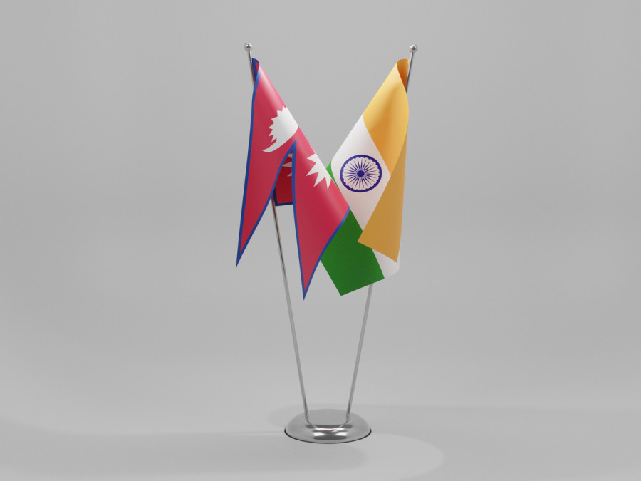
Survey officials agree to use aerial imagery to map land occupied by citizens of one country on the other side of the 1,880-kilometre boundary. Shutterstock
In a major breakthrough, senior survey officials from Nepal and India have agreed to conclude the mapping of cross border occupation, a long-standing boundary issue between the two countries, within three years.
The 13th meeting of the Survey Officials' Committee (SOC), which concluded in Lucknow, India on Friday, agreed to determine the exact status of land occupation across the boundary with technological assistance.
“We have decided to use unmanned aerial vehicles (UAV) to conclude mapping of cross border occupation in three years,” Susheel Dangol, deputy director at Department of Survey, told the Post over the phone from Lucknow. Dangol was leading the talks from the Nepal side.
The issue of cross-border occupation came into the spotlight after Prime Minister Balendra Shah told parliament in late May that, after assuming office, he learned that “not only has India encroached on Nepal’s land, but Nepal has also encroached on India’s land in multiple places.”
Later, the Ministry of Foreign Affairs clarified that Shah’s reference to Nepal having encroached on Indian land referred to the cross-border occupation and use of land, rather than to any territorial claim.
When the Nepal-India border was delineated, the Fixed Boundary Principle was adopted in riverine areas, resulting in situations of “cross-border occupation”, where citizens of one country cultivate and reside on land falling within the territory of the other country.
Over the decades, changes in the courses of hundreds of rivers have shifted thousands of hectares of land from one side of the border to the other. The SOC and the Joint Field Survey Teams are currently documenting these changes, and their findings will provide the technical basis for future decisions by the two governments, according to the officials.
When the 182 sets of strip maps were signed between Nepal and India in 2007, it was identified that nationals from both countries had either cultivated or resided on hundreds of hectares of land belonging to citizens of the other country.
“The UAVs will capture aerial images for the survey. We will then analyse those images and reach a common understanding to determine the extent of cross-border occupation,” said Dangol. He said the three-day meeting also approved the annual plan and budget for implementing the agreement.
Both the sides will start the joint survey soon after the monsoon season ends, around September or October.
The SOC is a subordinate committee of the Boundary Working Group (BWG), which is led by the heads of the survey departments of the two countries.
In its 2025 meeting, the BWG agreed to complete technical boundary work—including the joint construction of new boundary pillars and repair of damaged ones—within three years, except in the Susta and Kalapani-Limpiyadhura-Lipulekh areas.
Bilateral efforts to resolve technical boundary issues date back further, particularly to Indian Prime Minister Narendra Modi’s state visit to Nepal in 2014.
During the visit, the two sides agreed to establish the BWG, giving it a mandate to clear no-man’s land, construct, restore, and repair boundary pillars, update records of cross-border property holdings, and undertake other technical tasks related to border management.
According to the Department of Survey, 8,554 boundary pillars have been installed along the Nepal-India border. Of these, 1,325 are missing, while 1,956 are either partially or completely damaged. Under the BWG framework, the SOC and Joint Field Survey Teams provide technical expertise and carry out field-level work.
In 2015, the two sides set a three-year deadline to complete the technical work. After missing that target, they renewed the deadline in 2017, aiming to finish the work by 2022. That deadline also lapsed due to a combination of factors, including funding constraints, the Covid pandemic, recurring boundary disputes and adverse climatic conditions. Nepal and India share a 1,880-kilometre border spanning 27 districts.
Anil Giri is a Chief Sub Editor covering diplomacy, international relations and national politics for The Kathmandu Post. Giri has been working as a journalist for more than two decades, contributing to numerous national and international media outlets.




 14.5°C Kathmandu