



 18.18°C Kathmandu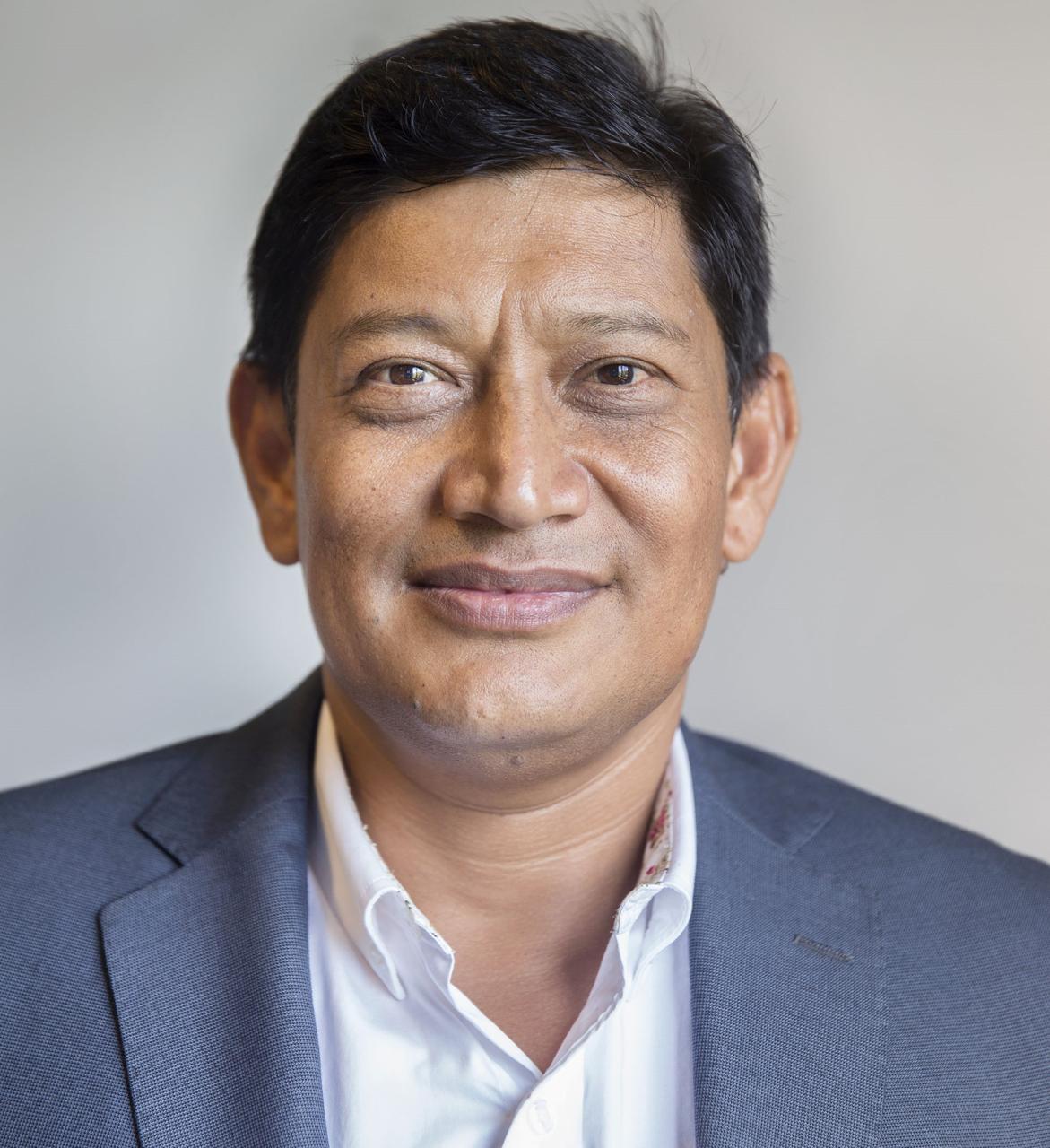

Tue, Oct 20, 2026
Columns
Can Nepal, India and China team up to beat GLOF risks?
Prime Minister Balendra Shah’s call for a Himalayan Climate Resilience Mechanism at the UN offers a blueprint for change. Here is how Nepal can pioneer a three-layer system for GLOF risk intelligence and regional survival.
bookmark
Basanta Raj Shrestha
Published at : September 28, 2026
Updated at : September 29, 2026 06:45
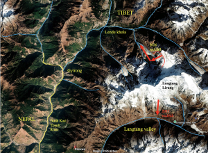
The Rasuwa–Bhotekoshi–Trishuli disaster exposed how our risk is changing faster than our systems for understanding and managing it. It exposed the vulnerability of mountain communities, infrastructure and livelihoods. The disaster, therefore, needs to become a turning point in how Nepal understands and manages risk in the Himalaya.
Prime Minister Balendra Shah took this message to the United Nations last week. Describing the disaster as a warning to the world, he called for a Himalayan Climate Resilience Mechanism led by Nepal, India and China. He proposed sharing satellite data and expertise, monitoring dangerous glacial lakes, strengthening joint early-warning systems and coordinating assistance across borders.
I believe this is the right moment to turn that call into something practical. One place to begin is with glacial lake outburst flood (GLOF) risk intelligence.
The risk we can see, but are we watching it?
Nepal and the wider Hindu Kush Himalaya are changing rapidly under a warming climate. Glaciers are retreating, permafrost is degrading and mountain slopes are becoming increasingly unstable. These changes can interact, producing cascading hazards, ice and rock avalanches, landslides, glacial lake outburst floods and downstream flooding.
The current inventory identifies 47 potentially dangerous glacial lakes relevant to Nepal: 21 in Nepal, 25 in the Tibet Autonomous Region of China and one in India. This is not simply a number on a map. A lake may be located across a national boundary, while its flood pathway may lead into Nepal. A hazard originating high in the mountains can cross borders and affect communities, roads, bridges and hydropower infrastructure far downstream.
That is why GLOF risk cannot be managed by Nepal alone. But regional cooperation has to begin with something very basic: knowing what is changing. Having spent much of my professional career at ICIMOD working at the intersection of mountain science, remote sensing, technology and regional cooperation, I have seen how much knowledge and data already exist in the Hindu Kush Himalaya. The challenge, instead of being a simple lack of information, is turning observations into timely intelligence, and intelligence into decisions and action.
We do not need to wait for another disaster before acting. Satellite Earth observation now provides an extraordinary opportunity to monitor remote and inaccessible mountain environments regularly. Optical and radar imagery can help detect changes in lake extent, surrounding terrain, glaciers and other indicators of instability. For Nepal, I would propose starting with a practical three-layer system.
First, we need continuous observation. Governmental authorities must use satellite data to regularly monitor the identified potentially dangerous lakes. Radar and optical observations should form the backbone, complemented where necessary by ground sensors, field observations and verification. Sophisticated modelling is not the central problem. The objective, therefore, is to know when something has changed.
Second, we need to endeavour to conduct multi-hazard risk assessment. A change in a lake does not automatically mean an imminent GLOF. It needs scientific interpretation. Has the lake expanded significantly? Has the moraine dam changed? Is there evidence of glacier, ice, and rock or slope instability? Could an avalanche enter the lake? If a breach occurs, where would the flood travel? What communities, roads, bridges, hydropower plants or other critical infrastructure are downstream? This is where remote sensing, GIS, hydrology, terrain analysis, artificial intelligence and local knowledge can come together to generate risk intelligence, rather than simply more data.
Third, we need to have an operational early warning system. Not every detected change should trigger a public alarm. Scientific and institutional assessment must determine the level of concern. But when a warning is warranted, it must be clear, trusted and location-specific. More importantly, people must know what to do with it, whether to increase monitoring, close a road or bridge, mobilise emergency services or evacuate an exposed community. A warning is useful only when someone can understand it, trust it and act on it in time.
We can move from GLOF intelligence to a national system monitoring and assessing the potential for a disaster. We have the opportunity to start with something concrete: Monitor every potentially dangerous glacial lake relevant to Nepal, establish a common risk-intelligence framework, and build an operational early-warning system.
We have increasingly powerful Earth-observation technologies. We have capable scientists, institutions and growing digital infrastructure. What we need now is to connect these capabilities into an operational system. This is also an opportunity to give meaning to the Prime Minister’s call for Himalayan resilience.
GLOF should be treated as a pilot for something bigger. Nepal needs a National Disaster Risk Intelligence System (NDRIS), a system that brings together satellite observations, weather and river data, terrain information, seismic observations, infrastructure and settlement data, historical disaster records and community reports.
Then, learn from that experience and expand it to the wider landscape of cascading mountain hazards. For me, this is ultimately about people. Behind every satellite image is a community. Behind every risk map are homes, roads, bridges, farms, schools and livelihoods. Digital technology and AI matters only when it helps protect them. Nepal now has an opportunity to move from collecting information to generating intelligence; from reacting to disasters to anticipating risk; and from isolated national systems to Himalayan cooperation and resilience.
Nepal’s Prime Minister Balendra Shah, in this address to the 81st UN General Assembly called on the international community to make the Himalaya a laboratory of cooperation. This is where his call becomes particularly important. Nepal cannot effectively monitor trans-boundary Himalayan risks by itself. Nor should scientific information stop at political boundaries. A Nepal–India–China mechanism for Himalayan climate resilience could provide a practical platform for sharing satellite observations, scientific expertise, risk information and early warnings. This is precisely the kind of cooperation that can turn the Himalaya from a frontier of fragmented information into a shared space for scientific and humanitarian cooperation.
Basanta Raj Shrestha
Shrestha is a former Director of Strategic Cooperation at ICIMOD.




Most Read from Columns
Editor's Picks


E-PAPER | October 20, 2026

×