Visual Stories
An unforgettable journey to a beautiful destination
The path, named after a French mountaineer, was used as an alternative to a much longer trekking route that took 14 days of dangerous journey to reach Annapurna base camp..jpg)
Ghanshyam Khadka
Nestled at the foot of towering mountains of the Annapurna region is a village—Narchyang .
Situated at an elevation of 1,400m, Narchyang is the closest human settlement to the world’s tenth-highest peak—Annapurna I (8,092m).
For decades, the village locals have been using the Mistri khola, which flows down the peaks, as a tool to navigate their path to and from the settlement for herding sheep.
Besides its local importance, the route also carries historic importance.
In 1950, a French expedition team arrived in Nepal with the ambition to scale Annapurna. On June 3, 1950, two members of the ‘French Annapurna expedition’ team–Louis Lachenal and Maurice Herzog–made history as the first people to scale the eight-thousander.

Herzog, who passed away on December 13, 2012, had visited the mountain for the last time in April 2005. This time around, Herzog flew in a helicopter over the route he had travelled with some 200 porters 55 years ago to climb Annapurna.
Sharing the stories of his great ascent with the locals, Herzog expressed his disappointment with the government’s negligence towards the region.
The Annapurna Mountain range consists of 14 different peaks. The region’s rural municipality had brought the path that Herzog had walked to scale Annapurna to operation after correctly tracing the route and making proper arrangements.
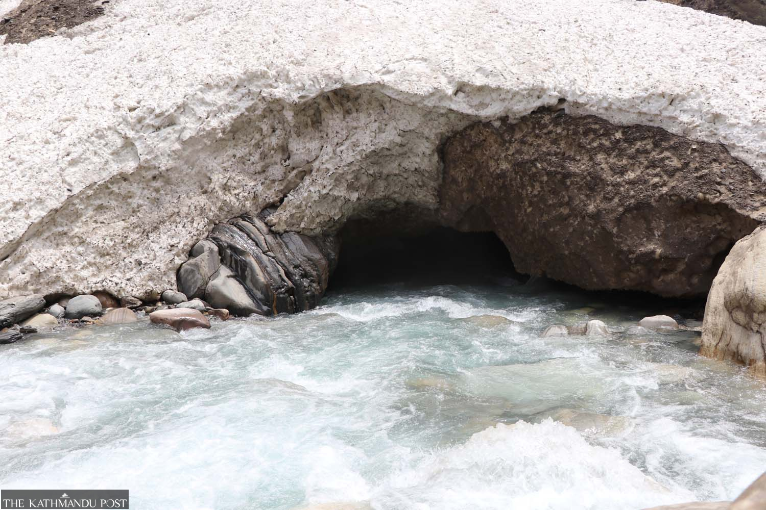
The path, named after the French mountaineer, was used as an alternative to a much longer trekking route that took 14 days of dangerous journey to reach the Annapurna base camp. The Maurice Herzog trail takes just six days, on foot, and two days, on a motorcycle, to cover the same distance.
Backpacking trekkers capable of walking long distances can take the Beni-Jomsom route through Tatopani to reach North Annapurna base Camp in a single day.
The journey to the base camp starts from Beni, a 76-km bus ride from Pokhara. Narchyangbesi, situated at an elevation of 1,330m, is 24 km from the Beni-Jomson road section. From there, Humkhola Dobhan is a two-hour jeep ride away.
After staying a night at the Humkhola Dobhan, travellers can take a 15-minute jeep ride to reach Humkhola.
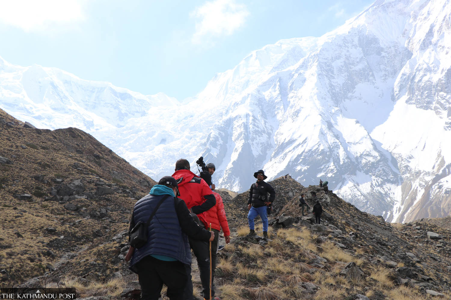
From Humkhola, the next stop, Bhusketmela, is a four-hour journey on foot. Although floods have damaged some parts of the trail, it isn’t tough and can be covered easily. There are various shelters along the way that can be used to take rest.
The base camp is a 4-5 hour trek from Bhusketmela.




 22.12°C Kathmandu
.jpg)
