Nepal prepares Krishnabhir bypass as temporary fix remains uncertain
Officials are upgrading a 12-km road along the opposite bank of the Trishuli river as the landslide-prone Krishnabhir section of the Prithvi Highway remains closed.
The government is preparing an alternative road across the Trishuli river as uncertainty grows over efforts to reopen the landslide-prone Krishnabhir section of the Prithvi Highway, a key link between Kathmandu and central and western Nepal. Officials fear the temporary track being built around the collapsed section may not be safe for long.
The highway has been closed at Krishnabhir for 13 days after the August 26 Bhotekoshi flood sent the Trishuli river against the road embankment, causing severe erosion and eventually triggering a landslide. The government had hoped to restore traffic by mid-September using a roughly 250-metre track cut into the mountainside above the collapsed road.
But the slope remains unstable, casting doubt on how long the temporary route could safely remain in use.
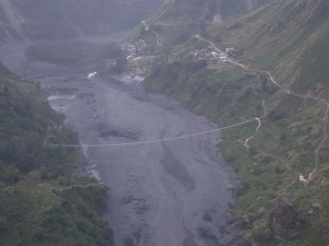
Authorities have therefore begun upgrading a road on the opposite bank of the Trishuli river. The plan is to connect two surviving bridges at Benighat and Fishling, turning existing local roads and tracks into a roughly 12-kilometre alternative route.
Infrastructure Development Minister Sunil Lamsal said the government aims to pave the alternative route before Dashain, Nepal’s biggest Hindu festival, which begins in mid-October.
“We are trying to get vehicles moving by extending the temporary track at Krishnabhir. But it is not a long-term solution. Krishnabhir could slide again,” Lamsal told Kantipur. “We are not relying too heavily on it. That is why work on the alternative road is also underway.”
The government is pursuing three approaches at the same time.
The immediate option is to finish the temporary track at Krishnabhir and allow vehicles to use it if there is no further movement of the slope. The track is being gravelled, with authorities initially planning to use it to bring in gas tankers. The Department of Roads is continuing maintenance work.
But officials have not set a date for reopening the highway because of the continuing landslide risk.
The second and potentially more practical option is the road on the opposite bank of the Trishuli river. Emergency contracting has been approved to upgrade existing tracks and build new sections where necessary, Lamsal said.
“The Bhotekoshi flood swept away many bridges. But the bridges at Benighat and Fishling survived,” he said. “We have started upgrading the road between those two bridges.”
The government wants the approximately 12-kilometre road paved before Dashain.
The third option is more permanent: authorities are studying whether to build a tunnel through the Krishnabhir hillside once the monsoon ends.
Another proposal under consideration is to stabilise the failed section by constructing a concrete structure upward from the Trishuli riverbank. Engineers have also suggested a bridge or tunnel as a long-term solution.
The alternatives are being pursued alongside work at Krishnabhir because Nepal’s monsoon season is not yet over, Lamsal said.
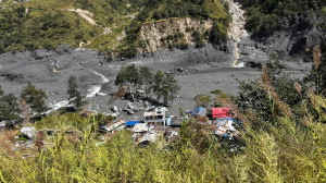
The latest damage followed the August 26 flood that devastated communities and infrastructure along the Bhotekoshi and Trishuli river system.
After the Bhotekoshi joined the Trishuli, the river carried large quantities of sediment downstream and began eroding sections of the Prithvi Highway. At Krishnabhir, the river shifted towards the cliff and began striking the already unstable slope.
“The Trishuli river accumulated sediment along the opposite bank at Krishnabhir and began hitting the cliff face,” Lamsal said. “That caused the erosion at Krishnabhir.”
The damage is not confined to the landslide site. According to Lamsal, the Trishuli river has eroded the highway at several locations between Betravati and Muglin.
“Krishnabhir has very weak geology and soil. The problem has become much more serious because the river is hitting the slope,” he said. “Once winter arrives, the river will have to be moved away from the road wherever it has shifted towards the highway embankment.”
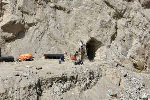
The government says 10 machines and 30 workers have been deployed at Krishnabhir to cut through the hillside and build the temporary route. Lighting installed by the Armed Police Force has allowed crews to work 12 to 14 hours a day, including at night.
Work is also underway to stabilise the slope above and below the new track and clear landslides at five other locations along the highway, the Prime Minister’s Office said.
Krishnabhir is not a new problem for road authorities.
The section, in Benighat Rorang Rural Municipality in Dhading, first suffered a major landslide in 1999. A larger landslide the following year blocked the highway for 11 days.
Authorities carried out slope-stabilisation work in 2007 using bioengineering and retaining walls after identifying landslide risks both above and below the road.
The slope again began shifting and sinking last October because of water infiltration, according to the Department of Roads.
The department had already been trying to protect the highway from erosion by installing micropiles and horizontal anchors below the road. It had also begun concreting sections of the paved surface to prevent water from penetrating the road structure.
The latest failure, 26 years after the first major landslide, has exposed the limits of relying on a single vulnerable road cut through the steep Trishuli valley.
The Prithvi Highway is one of Nepal’s most important transport arteries, linking Kathmandu with major cities and commercial centres across the country’s central and western regions.




 14.72°C Kathmandu