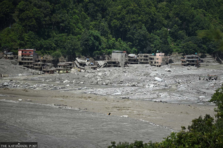
The floods and mudflows that swept through the Bhote Koshi-Trishuli river system on August 26 left an estimated 2.2 million tonnes of debris across the affected areas, according to a preliminary assessment by the United Nations Development Programme (UNDP).
The UNDP’s Rapid Assessment and Analysis for Immediate Recovery and Development Action (RAPIDA) found that the debris comprises collapsed building materials, household belongings, vegetation, rocks and sediment.
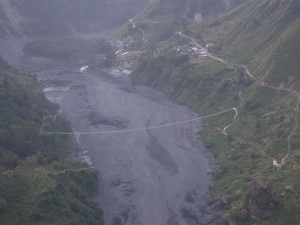
The flash floods triggered by a glacial collapse in Mt Langtang Lirung in north-central Nepal swept vast volumes of water, mud and rocks through the affected districts. According to authorities over 1,110 have been confirmed dead and over 4,000 people are missing after the floods.
Of the estimated total debris, around 556,200 tonnes is building debris, based on satellite assessments of damage to 2,359 buildings. UNDP said the figure could increase as additional damage is identified.
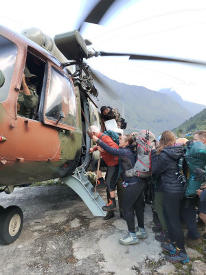
For families and rescue teams, however, the debris is more than a measure of destruction. People remain trapped or buried beneath collapsed buildings and piles of mud and debris, making rescue operations difficult and dangerous, said the UN agency's preliminary report issued on Wednesday.
According to government figures cited by UNDP, 84,270 people across 17 municipalities in six districts have been affected. Around three-fourths of those affected were already living in areas facing greater challenges in terms of livelihoods, access to basic services and living conditions, the UN agency said.
The disaster has also caused extensive damage to Nepal’s energy infrastructure. Eleven hydropower stations and one solar plant, with a combined capacity of 431.1 megawatts, have stopped operating, while another 15 hydropower projects under construction, with a planned capacity of 470 MW, suffered damage.
UNDP said its assessment combines satellite-based building damage assessments from Copernicus EMS and SERTIT with other available data and locally adapted engineering estimates to map the scale and distribution of the debris.
The UNDP said its assessment is preliminary and will be updated as more information becomes available.
“This is a devastating disaster for communities along the Trishuli corridor. Families have lost loved ones, homes and livelihoods, while entire communities are struggling to reconnect with essential services and one another,” UNDP Resident Representative in Nepal Kyoko Yokosuka said.
“The scale of destruction is immense, and as the immediate response continues, we must make sure that recovery reaches the people who have been hit hardest and helps them rebuild safely and with greater resilience,” she said.
Most of the affected municipalities are rural and in Nepal’s hill regions, where 67.4 percent of people work in agriculture. For households dependent on agriculture, damage to crops, livestock and farmland could have a lasting impact on food security and family incomes, the UNDP said in a statement.




 15.71°C Kathmandu