Nepal-India boundary talks in Lucknow on August 12-14
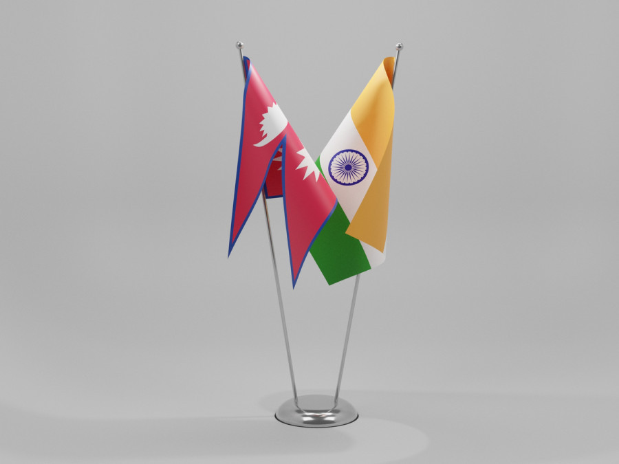
The meeting of the Survey Officials’ Committee is scheduled to approve plans and budgets for constructing and repairing boundary pillars among others. Shutterstock
At a time when the boundary issue with India has become one of the most discussed topics in Nepal, the two countries are set to sit next month to discuss technical aspects of the border.
The 13th meeting of the Survey Officials' Committee (SOC) is scheduled to be held in Lucknow from August 12 to 14, according to a senior official at Nepal's Department of Survey. The meeting is expected to approve the plan and budget for implementing the agreement reached at the seventh meeting of the Boundary Working Group (BWG), the highest bilateral technical mechanism dealing with boundary issues, excluding the disputes over Susta and Kalapani. The BWG met on July 30 last year. The SOC is also not mandated to discuss Susta and Kalapani disputes.
Sushil Dangol, deputy director general of the Department of Survey, will lead the Nepali delegation.
The BWG had agreed to complete technical boundary work—including construction of new boundary pillars and the repair of damaged ones jointly—within three years. At last year's meeting, the two sides also agreed to prepare an inventory of encroachments of the no-man's land and document cross-border property holdings by citizens of both countries.
"We have already completed two years of the agreed timeline. The upcoming meeting will chart out the plan for the remaining one year," the official said.
The boundary issue has remained a key agenda between Nepal and India since Nepal issued its new political map in 2020. However, bilateral efforts to resolve technical boundary issues date back much earlier, particularly to Indian Prime Minister Narendra Modi's state visit to Nepal in 2014.
The agreement to establish the BWG was reached during that visit with the mandate to clear the no-man's land, construct, restore and repair boundary pillars, update records of cross-border property holdings, and undertake other technical tasks related to border management.
In 2015, both sides set a three-year deadline to complete the technical work. When that target was missed, they renewed the deadline in 2017, aiming to complete the work by 2022. However, both deadlines lapsed due to a combination of factors, including funding constraints, the Covid pandemic, recurring boundary disputes and adverse climatic conditions.
"Once the agenda is finalised and shared between the two sides, there will be greater clarity on the issues to be discussed," a government official said.
The Covid pandemic and the strain in bilateral ties following the 2020 boundary dispute also delayed BWG meetings, leaving the mechanism inactive for six years after its last meeting in 2019.
Officials at the Department of Survey say the upcoming meeting is also expected to review the upgrading of Global Positioning System (GPS) base stations. Nepal and India currently use the internationally accepted Nepal-India Boundary Global Navigation Satellite System (NIB GNSS) to map boundary pillars.
The latest boundary maps—excluding the disputed areas of Kalapani and Susta—were prepared using GPS technology under an agreement reached in 2007. Based on the resulting 182 map sheets, the BWG has been tasked with constructing new boundary pillars where they are missing, repairing damaged pillars, clearing the no-man's land and preparing an inventory of cross-border property holdings.
Apart from the BWG and the SOC, the two countries also operate Joint Field Survey Teams (FSTs). Together, these three mechanisms are responsible for constructing, restoring and repairing boundary pillars, clearing the no-man's land, conducting GPS-based mapping, collecting data on cross-border property holdings and addressing other technical boundary issues.
According to the Department of Survey, a total of 8,554 boundary pillars have been installed along the Nepal-India border. Of these, 1,325 are missing, while 1,956 are either partially or completely damaged. Under the BWG framework, the Survey Officials' Committee and the Joint Field Survey Teams provide technical expertise and carry out field-level implementation.
The FSTs are using updated technical modalities to inspect, repair and maintain boundary pillars. They have also agreed on the need to adopt newer surveying and mapping technologies to improve the efficiency of the BWG and its supporting mechanisms, another Department of Survey official said.
Nepal and India share a 1,880-kilometre border spanning 27 districts. Before the Covid pandemic, technical boundary work had been completed in Jhapa, Sunsari, Kailali and Parsa districts.
The immediate priority of the BWG is to prepare a comprehensive blueprint for completing the remaining boundary work. This includes documenting cross-border property holdings, repairing or reinstalling damaged and missing boundary pillars, upgrading GPS infrastructure, and addressing technical issues arising from rivers that have changed course over the years.
Some boundary pillars have already been jointly repaired by Nepal's Armed Police Force (APF) and India's Sashastra Seema Bal (SSB), and data from those works has been forwarded to the Survey Officials' Committee. Officials say fresh field data will also be reviewed to identify additional pillars that need to be installed, repaired or maintained.
Over the decades, changes in the courses of hundreds of rivers have shifted thousands of hectares of land to either side of the border. The Survey Officials' Committee and the Joint Field Survey Teams are currently documenting these changes, which will provide the technical basis for future decisions by the two governments.
Anil Giri is a Chief Sub Editor covering diplomacy, international relations and national politics for The Kathmandu Post. Giri has been working as a journalist for more than two decades, contributing to numerous national and international media outlets.




 14.84°C Kathmandu