National
Consult Delhi for census in Kalapani, census bureau asks Foreign Ministry
The Central Bureau of Statistics has yet to decide on sending enumerators to the region, which Nepal has brought within its borders but India claims as its own.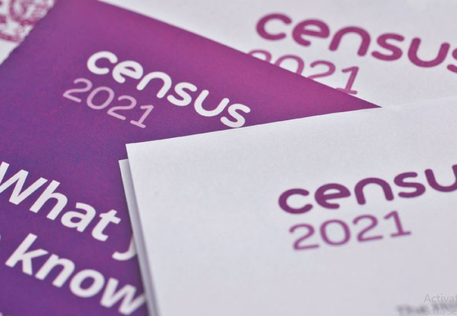
Prithvi Man Shrestha
The Central Bureau of Statistics has written to the Ministry of Foreign Affairs to take diplomatic initiatives with India for conducting population census in Kalapani, Limpiyadhura and Lipulekh.
“As per the decision of the Census Steering Committee headed by the National Planning Commission vice chair, we had requested the Foreign Ministry before the Dashain festival, which was observed earlier this month, to take necessary initiatives with India,” said Nebin Lal Shrestha, director general at Central Bureau of Statistics (CBS).
CBS is preparing to conduct a nationwide census in November.
Shrestha said that the CBS cannot send enumerators to the Kalapani region without talks with India, as it continues to control the area, even though Nepal claims the territory as its own. Also, since there is no direct road link connecting the region with the rest of the country, people can reach the area via India.
“We are ready to send our enumerators there if India eases the situation for us to conduct census there,” said Shrestha.
Nepal published a new map in May last year incorporating Kalapani, Limpiyadhura, and Lipulekh within the Nepali territory, in an assertion that the regions belong to Nepal, not India, which claims them to be its own. This emerged last year as a major irritant in Nepal-India relations, with Delhi calling Kathamndu’s decision to publish the new map a cartographic assertion. Nepal’s move was prompted by India’s announcement that it was building a road link to Kailash Manasarovar in the Tibet Autonomous Region of China via Lipulekh.
The new map was adopted by Parliament through a constitutional amendment.
Officials have been wondering for quite a while about how to conduct census in the region, not because it is remote but because it is controlled by India.
Ram Kumar Phuyal, a member of the National Planning Commission, the parent body of the CBS, said that the decision to use diplomacy was taken with a view to not harming the relations between the two countries.
“It is the duty of the government to conduct census in the country’s own territory. But since it has not been a long time since that new map was unveiled incorporating the Kalapani region, we agreed on taking a high-level diplomatic initiative with India as the first option to conduct the census in the region,” said Phuyal.
The census this year, the 12th since it was started in 1911, is the first since Nepal published the new map last year and it has emerged as a major test for the Nepali government on whether it can establish its sovereignty over this territory.
On October 5, the CBS announced that it completed listing houses and households. During the listing, supervisors count houses, households, and family members of each family before the actual census.
But, according to the CBS, the listing of houses and households in the Kalapani region could not take place. The listing gives a framework about the households involved in farming and it will help the bureau to conduct an agricultural census that takes place six months after the population census every 10 years. The main census is scheduled to be conducted from November 11 to November 25.
Bureau officials say they are now busy recruiting enumerators. But with the government deciding to consult India for conducting census in the Kalapani region, whether India would agree to Nepal’s request is uncertain.
Phuyal said that the government’s priority is to conduct the census by sending enumerators physically to the region.
“But if that is not possible, there can be many alternative valid methods practised in other countries in similar disputed regions, as we cannot send our security forces there,” he said.
According to him, the census can be done through virtual methods, through people having family relations in the region or by relying on the census data produced by other sources.
The CBS has also been discussing two other options in the case of failure to send enumerators in the Kalapani region.
One option is counting the number of households using satellite imagery and estimating the number of people based on that. Another option under consideration is estimating the current population based on India’s census report of 2011. The CBS had floated these options earlier this year as well.
“If it is not possible to go to the region physically, we will conduct the census by adopting alternative methods,” Shrestha told the Post. “Rest assured when the final results of the census are released, there will be details about the population of the Kalapani region.”
Officials say the bureau has already collected the data on the population in the region based on India’s 2011 census, according to which, there are 363 people in Kuti, 78 in Nabi and 335 in Gunji—the three villages in the region.
Buddhi Narayan Shrestha, a former director general of the Department of Survey, told the Post last month that the government should conduct census in the Kalapani area. Otherwise there is no meaning of publishing the new Nepal map incorporating the area within the Nepali territory.
He had offered three different ways of conducting census in the Kalapani area.
“One is asking the people living in Chharung village of Nepal who have their relatives in those three villages—Gunji, Navi and Kuti. We can go to Chaharung and collect whatever information they have,” said Shrestha. “The second way is to get satellite images of the households in these three villages and estimate the number of people in each household. But we will miss other details in this case.”
According to Shrestha, the third way is to analyse the data from the Indian survey of 2011, something the CBS too is considering.
“No matter whether we have a full or partial picture… full or partial census… we have to conduct the survey in the [Kalapani] region,” said Shrestha.
CBS officials say they will wait for a response from the Foreign Ministry with regard to their request for diplomatic initiatives with India. Since India has been nonchalant of late with regards to Nepal’s diplomatic requests, it is not clear whether Delhi would respond.
When New Delhi published a new map in November 2019 to update its political map after detailing the boundaries of Jammu and Kashmir and Ladakh, it had shown the Kalapani region within Indian borders. The new map was unveiled after the Indian government on August 5 rescinded the special status of Jammu and Kashmir, paving the way for the creation of the Union Territories of Jammu and Kashmir, and Ladakh. Nepal’s attempts to hold diplomatic dialogue to resolve the issue went unanswered by India.
Recently also, the Foreign Ministry dispatched a diplomatic note to India through the Indian embassy in Kathmandu regarding the disappearance of Jaya Singh Dhami, a youth from Darchula, in the Mahakali river. A government panel had found that Dhami fell into the river when Indian security forces untangled the metal cable he was using to get to the Indian side.
India has not responded to the ministry’s diplomatic note.
Sewa Lamsal, spokesperson for the Foreign Ministry, said she, on Sunday, could not confirm the actual status of the request by the CBS on diplomatic initiatives with India for conducting the census in the Kalapani region.


 15.12°C Kathmandu

