Gandaki Province
Government-formed committee ascertains Phewa Lake’s area as 5.726 square kilometres
Various reports state that the area of Phewa Lake has been shrinking mainly due to human encroachment.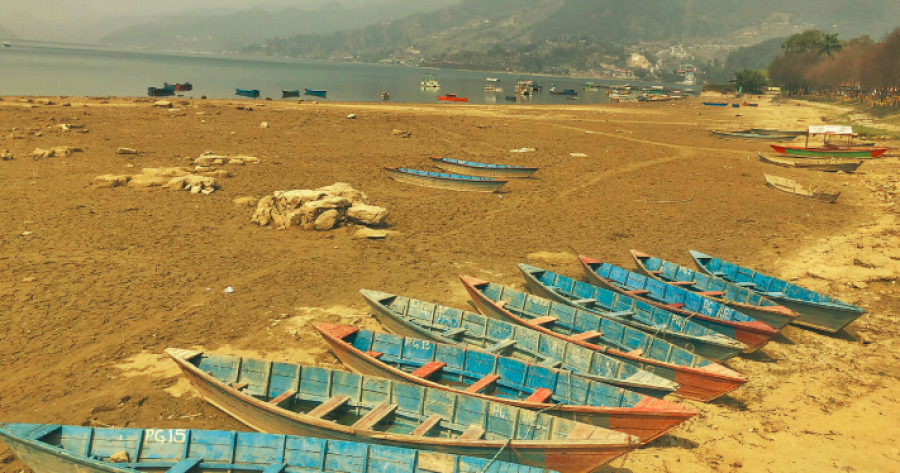
Deepak Pariyar
The area of Phewa Lake, a major tourist attraction in Pokhara, has been officially established.
A committee formed by the government has fixed the lake’s area at 5.726 square kilometres (around 11,255 ropanis). Chief Minister of Gandaki Province Prithvi Subba Gurung made public the committee’s report on Sunday. A Nepal-India cooperation mission survey conducted in 1957 had reported the lake’s area at 10.36 square kilometres.
The recent report has fixed four boundaries of the lake—Damsite in the east, Morebagar in the west, Damkilo that lies between Khapaudi and Chakharpur in the north and Chisapani Raniban in the south. As per the committee’s report, the perimeter of Phewa Lake is around 18 kilometres.
Several teams had surveyed the lake at different times and made public different reports. The British Survey of India in 1925/26 had prepared a topographical map of the lake stating its area as 3.46 square kilometres. It is speculated that the area was reported less at that time since the dam was yet to be constructed and also due to a lack of modern technology. Survey of India in 1957/8 had mentioned the lake’s area as 4.39 square kilometres. The same year, the Nepal-India cooperation mission survey had ascertained the area as 10.36 square kilometres after the construction of a dam.
If the Nepal-India cooperation mission survey’s finding is anything to go by, the area of Phewa Lake has shrunken by nearly a half. But Khimlal Gautam, the member secretary of the recently formed government committee and chief of the Survey Office of Kaski, claimed that the Nepal-India cooperation mission survey’s report was a faulty one.
“By analysing all the documents, reports and facts as well as making use of modern technologies, the committee could not find any bases of such a big area of the lake,” said Gautam. According to him, a study of four American professors and two Nepali experts conducted in 2017 also stated that they could not find any bases that support Phewa Lake had such a massive area.
The Council of Ministers had decided to hand over the responsibility of determining the area of Phewa Lake to the Ministry of Land Management, Cooperatives and Poverty Alleviation in July, 2020. Accordingly, the ministry decided to form the committee the next month, urging the Gandaki provincial government to appoint the coordinator of the committee. On the recommendation of the provincial government, the federal government designated Punya Prasad Paudel, the former chairman of the District Development Committee of Kaski, as coordinator on October 18, 2020.
In May, 2012, a panel led by Bishwa Prakash Lamichhane, former chair of City Development Committee of Pokhara, submitted a report to then prime minister Baburam Bhattarai stating that the lake had a total area of 12,874 ropanis (around 655 hectares), including 9,955 ropanis covered by water, 652 ropanis of wetland, 2,101 ropanis of cultivable land and 165 ropanis of public land.
The report also stated that the area of Phewa Lake has been shrinking mainly due to human encroachment.
The Lamichhane report found that 1,692 ropanis (86 hectares) of the lake's area had been illegally converted into private property after the Phewa Lake dam burst in 1974 and recommended that the government terminate the ownership of 950 people. The 2018 Supreme Court directed the Ministry of Land Management, Cooperatives and Poverty Alleviation and the Department of Survey to scrap the ownership of those illegally registered land plots and include the area as part of Phewa Lake. When the breached dam had been repaired in 1984, nearly 500 ropanis of the 1,692 ropani encroached land went under water.


 20.12°C Kathmandu
.jpg)
