In Nepal’s flood zone, pilots are flying by their “own discipline”
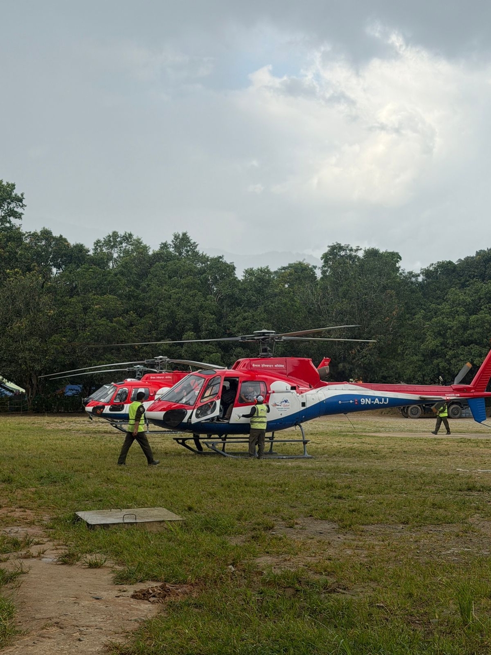
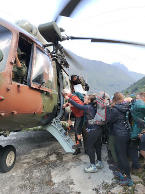
Washed-out roads, altered river courses and unreliable radio links have left helicopter crews navigating narrow valleys with little help from ground-based air traffic control. Helicopter crews load relief supplies for flood victims in Nuwakot on August 29, 2026. Angad Dhakal/TKP
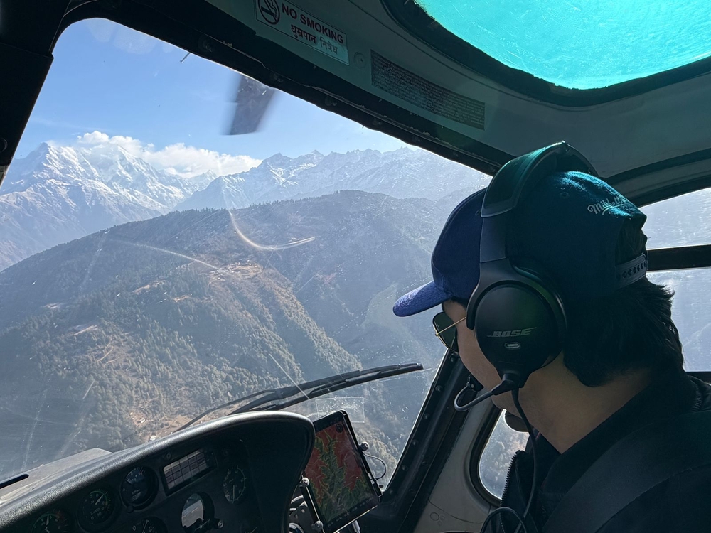
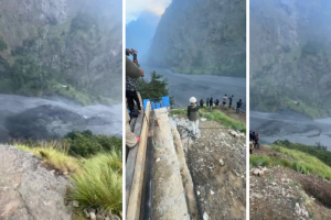
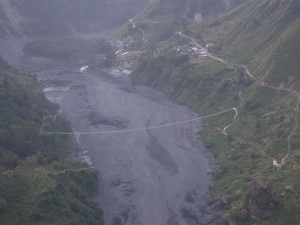
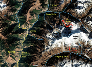
The Bhotekoshi floods have changed the landscape that helicopter pilots once relied on to navigate the valleys of Rasuwa and Nuwakot. Roads, riverbanks and familiar landmarks have disappeared, while steep terrain cuts off radio signals from ground-based control towers.
Yet rescue and relief flights have continued. In many of the worst-hit areas, pilots are relying on a system they have largely built among themselves: continuous radio communication, shared information about other aircraft and strict flying discipline to navigate the narrow valleys safely.
The affected areas of Rasuwa and Nuwakot lie in “uncontrolled airspace”, according to Debendra Prasad Shrestha, chief air traffic controller at Tribhuvan International Airport. Once helicopters enter those areas, air traffic controllers cannot directly control their movements.
After leaving Kathmandu, helicopters generally remain in radio contact with air traffic control for about 15 nautical miles. Beyond that, particularly when flying at low altitude through narrow valleys, radio contact becomes increasingly unreliable, Shrestha said.
Pilots then switch to a common radio frequency and coordinate directly with one another.
“Helicopters are flying while staying in contact with each other on the 120.8 frequency,” Shrestha said. “They share their positions, direction of travel and information about nearby traffic, and maintain separation from one another themselves. What they say cannot be heard by the tower in Kathmandu or at nearby airports.”
Air traffic controllers continue to manage helicopter departures and arrivals at Kathmandu airport. But once aircraft enter the flood-affected areas around Bhotekoshi, much of the responsibility for flight safety rests with the pilots themselves, Shrestha said.
Bibek Khadka, a senior helicopter instructor and captain with Altitude Air, likens the arrangement to driving on a narrow mountain road.
“When flying through a valley between two mountains, helicopters travelling in either direction keep to their respective left side,” he said. “Every pilot reports their position, and information about aircraft approaching from ahead or the opposite direction is shared. In a country like Nepal, where the geography leaves little room to manoeuvre, that discipline is extremely important.”
Senior captain Maniraj Lama of Kailash Air said military and private helicopters are also operating on the same radio frequency.
“It is like keeping to your lane on a road,” he said. “We follow the same practice inside the valleys, keeping to our left when going up and also when returning.”
Trishuli becomes the rescue hub
Trishuli has emerged as the main staging point for rescue operations in Rasuwa and Nuwakot.
The Nepali Army is operating helicopters travelling from Kathmandu, while private helicopter pilots are also taking part in the operation.
People rescued from the affected areas are generally first brought to Trishuli, where teams from the Army, Armed Police Force and medical personnel are standing by. After receiving first aid, patients in serious condition are flown to Kathmandu.
Relief supplies are also not being flown directly from Kathmandu to every affected settlement, Khadka said.
“Supplies are first gathered at the Trishuli base,” he said. “From there, they are distributed to different affected settlements according to need.”
The nature of the operation has changed since the first days after the flood, said Lama, a former Nepali Army officer who now flies for Kailash Air.
“During the first two or three days, much of the work involved moving people who could be seen or contacted to safe locations,” he said. “Now it is not just about rescue. Relief distribution is also underway. More flights are carrying supplies to remote and isolated villages and relocating people to safer areas.”
Pilots are still trying to help when they spot people signalling for assistance from the air.
“If we see people and it is possible to land or rescue them safely, we make the effort,” Lama said. “But it is not possible to pick up every person we see from a helicopter immediately. We have to consider the landing site, weather, the helicopter’s weight, fuel and the situation with other aircraft.”
One of the biggest challenges is that the flood has transformed the terrain itself.
Pilots who had flown repeatedly over Syabrubesi, Timure and the Bhotekoshi area before the disaster now find many of their familiar reference points gone.
Settlements, helipads, riverside structures and patches of greenery that once helped them identify locations have disappeared or been radically altered.
“Places we knew before now look like a completely different landscape,” Khadka said. “Some are buried under mud and sediment. In other places, the river has changed its old course. It has become difficult even to identify places where we used to land.”
The altered landscape has created new risks for helicopter operations.
“The ground is wet and could give way. Old helipads have been washed away. In many places, there is not enough flat ground for a helicopter to land,” Khadka said. “In such conditions, you cannot simply land wherever you see people.”
Pilots now conduct an aerial reconnaissance before attempting to land, Lama said.
They circle the site and assess the condition of the ground, the direction of approach, power lines and other obstacles, the stability of the surface and the helicopter’s weight before deciding whether it is safe to land.
“For us, every day is like having a new helipad,” Lama said. “There is no permanently prepared runway as there is at an airport. That is why, during a disaster, a pilot’s experience and judgement are the most important things.”
When a landing is impossible, pilots have to find another safe location nearby.
In some areas, Army or Armed Police teams first move people and equipment to the site and prepare temporary landing areas.
Fuel is another constraint
Fuel has become another critical logistical challenge.
A helicopter flying from Kathmandu to Rasuwa or Nuwakot for a rescue would have to return to Kathmandu to refuel before flying again. That would slow down repeated shuttle flights and the overall rescue operation.
This time, however, the government has sent a fuel tanker to the Trishuli area, giving rescue flights an important boost, pilots said.
Helicopters are carrying additional fuel from Kathmandu when necessary and refuelling from the temporary supply at Trishuli, Khadka said.
“When you are operating from a forward base in the upper areas, fuel management is extremely important,” he said. “Once refuelling was arranged at Trishuli, helicopters were able to conduct shuttle flights much more efficiently.”
Every flight also requires a different calculation of how much fuel, relief cargo or passengers the helicopter can carry.
More fuel means less payload. Carrying less fuel requires a reliable refuelling point along the route.
Before every flight, pilots therefore have to weigh the weather, distance, passenger or cargo weight, destination and possible alternatives before deciding how to operate.
A national disaster operation
The helicopter mission is not being run simply as an aviation response to an isolated accident.
It is part of a nationwide mobilisation of available air resources following a major disaster, said Tek Nath Sitaula, general manager of Tribhuvan International Airport.
Under Nepal’s national disaster-management structure, multiple agencies are coordinating the response, while the civil aviation sector is supporting the operation by providing aircraft, helicopters, airports and other aviation infrastructure, Sitaula said.
On the ground, the Army and other security agencies are responsible for deploying helicopters and rescue teams.
Decisions on which helicopter goes where, where relief is needed and where rescue teams should be deployed are being made based on conditions on the ground.
Private helicopters were gradually brought into the rescue operation during the initial days. Around 30 military and private helicopters are now flying as part of the wider mission.
“Without helicopters, it is hard to imagine how many people would have survived the flood,” Khadka said. “There are no roads. Bridges have been washed away. Villages have been cut off. In such circumstances, helicopters are the only means of reaching many places quickly.”
For helicopters flying upriver from Trishuli, every flight now brings a new set of challenges.
Weather can close one route, while narrow valleys can make another difficult to navigate. Pilots must also balance fuel and payload and find ground stable enough to land.
Such challenges are far beyond routine helicopter operations.
With roads and bridges cut off on the ground, the sky has become the only viable route to many parts of Rasuwa and Nuwakot.
In the devastated areas of the two districts, helicopters have become a lifeline, said Pratap Jung Pandey, president of the Airlines Operators Association of Nepal.
Suraj Kunwar is a senior correspondent with over two decades experience covering Aviation, Tourism and Mountaineering. He received the IFJ Tolerance Award in 2005.




 14.83°C Kathmandu